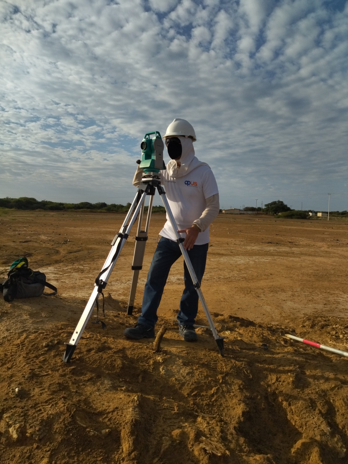
Topographic surveys (Planimetry and Levels) of general terrains (urban, rural, cadastral, construction).
Bathymetric studies (Fluvial and Maritime).
Construction setting-out (edifications, various civils, tubing lines, among others.)
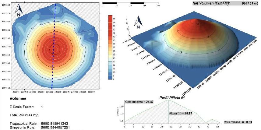
Progress volume measuring and material inventory.
Volume control (measuring) for the construction and mining sector.
Topographic blueprints making.
Area design and subdivision.
Geodesic control points layout and linking to the National Geodesic Geocentric Web.
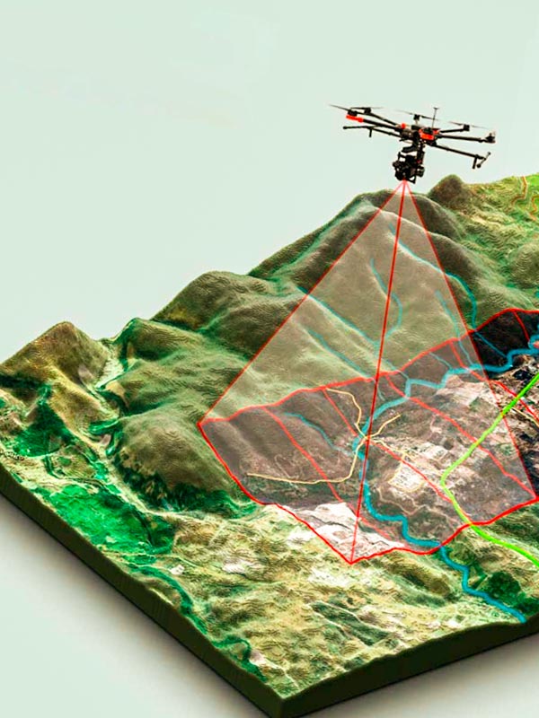
Photogrammetry via the use of drones (UAV, Unmanned Aerial Vehicle or RPA, Remotely Piloted Aircraft).
Digital models and 3D impressions. Using aerophotogrammetric flights, a three-dimensional design will be made, creating the object’s render for it to be printed later in 3D printers with biodegradable materials such as PLA.
Cartography maps generation with pictures captured by drones.